

Where to ski, ride, hike and bike from either store: every alpine area, Nordic center, trailhead and bike network within 50 miles of Lincoln and 15 miles of Scarborough, color-coded by difficulty.
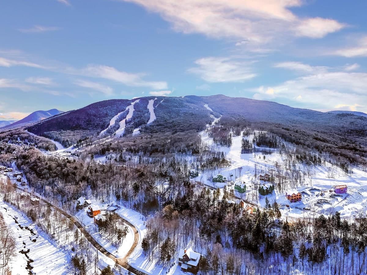
Lincoln, New Hampshire
Ski areas, Nordic centers, hikes and bike networks within 50 miles of 5 Railroad Street, from Loon and Cannon to Franconia Notch.
See the Lincoln map →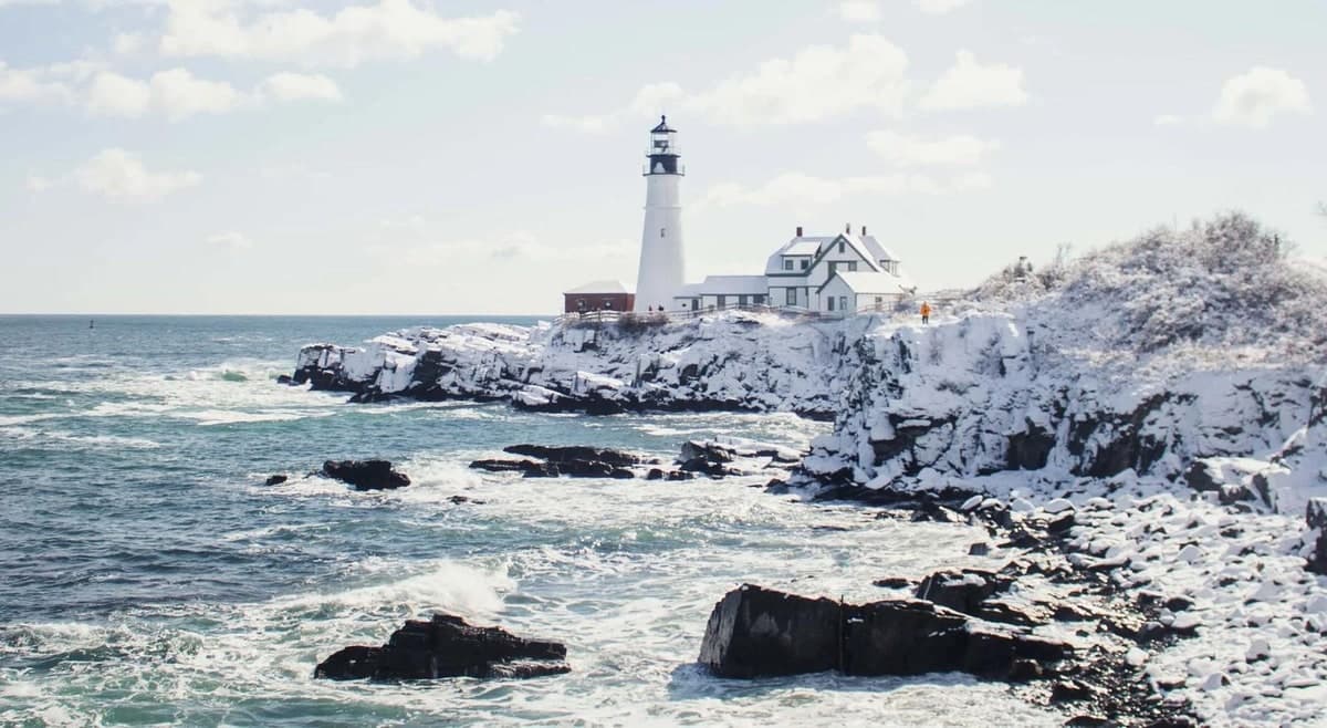
Scarborough, Maine
Coastal preserves, the Eastern Trail and Blackstrap Hill within 15 miles of 332 US Route 1, plus the nearest alpine skiing.
See the Scarborough map →Lincoln, New Hampshire
50-mile radius from 5 Railroad Street.
Alpine areas, Nordic centers, hikes, mountain-bike networks and the notch bike path. Filter by type; click a pin for the numbers and a link to the official site. Trail mixes and vertical are as published by each area.
Alpine ski areas
Lincoln’s home mountain: three peaks, the Kancamagus 8 and the largest snowmaking system in New Hampshire.
19% beginner / 53% intermediate / 28% advanced · 2,190 ft vertical · 73 trailsState-owned Franconia Notch classic with an aerial tramway and steep New England terrain.
21% / 47% / 32% · 2,230 ft vertical · 73 trailsIntermediate-friendly resort village at the end of Route 49 with a strong terrain-park heritage.
15% / 59% / 26% · 2,020 ft vertical · 62 trailsNew Hampshire’s largest ski area by acreage, glade-heavy, facing Mount Washington.
25% / 29% / 46% · 1,500 ft vertical · 102 trailsTwo peaks, Attitash and Bear Peak, on Route 302 in Bartlett.
29% / 44% / 27% · 1,750 ft vertical · 68 trailsLong, north-facing runs directly across from Tuckerman Ravine.
25% / 45% / 30% · 2,112 ft vertical · 49 trailsNinety-year-old, sunny, wind-sheltered Jackson ski hill, now run by Indy Pass.
1,100 ft vertical · 45 trails · trail mix not publishedIn-town North Conway resort with a mountain coaster and a learn-to-ski focus.
28% / 45% / 27% · 1,200 ft vertical · 56 trailsSmall family hill at Purity Spring Resort with tubing and a 20 km cross-country network.
350 ft vertical · 17 trails · 100% snowmakingIndependently owned mountain outside Plymouth; confirm operating dates each season.
1,500 ft vertical · 53 trails · 2026–27 passes on saleCounty-owned Lakes Region resort above Lake Winnipesaukee.
1,340 ft vertical · 44 trails and 5 gladesTwo-peak resort with New Hampshire’s only six-person high-speed lift.
1,250 ft vertical · 57 trails, 17 gladesBoyne-owned Maine mountain, renamed from Shawnee Peak in 2022.
1,300 ft vertical · 44 trails · night skiingNordic centers
One of the largest groomed cross-country networks in the East.
About 100 km of trails with warming cabinsTown Square center whose trails run into the national forest.
70+ km groomed classic and skateFranconia Inn touring center under the Kinsman Range.
30 km, 25 km groomedFamily-run touring center along the Saco River on Route 302.
70 km total, 60 km groomedNonprofit village-wide network and one of the best-known Nordic destinations in the East.
100 km total, 85 km groomed, 40 km snowshoeAt the base of the Mount Washington Auto Road; fat bikes and snowcoach too.
20+ km groomed, 25 km ungroomedHiking
Falling Waters up, Old Bridle Path down: the signature above-treeline traverse over Little Haystack, Lincoln and Lafayette.
8.3–8.5 mi loop · about 3,600–3,800 ft gainPast AMC Greenleaf Hut to the 5,249 ft summit.
About 8 mi round trip · about 3,500 ft gainBoardwalk through an 800 ft granite chasm; the full loop is required.
2.0 mi loop · timed tickets, seasonalShort climb from the Flume lot to a cliff-top view over the notch.
3.4 mi round trip · about 1,250 ft gainFamily favorite from Lafayette Place to AMC Lonesome Lake Hut.
3.1 mi loop · about 1,000 ft gainTwo 4,000-footers via Lonesome Lake and the Fishin’ Jimmy Trail.
10 mi round trip · about 3,150 ft gainOpen granite ledges with big views for modest effort.
4.4 mi loopBald 4,802 ft summit from Dartmouth’s Ravine Lodge.
7.2 mi round trip · about 2,350 ft gainOld logging railroad along the East Branch into the Pemigewasset Wilderness; Franconia Falls spur.
Flat railroad grade, 3 mi each way · closed for restoration June 15 to November 2026New Hampshire’s tallest single-drop waterfall in Crawford Notch State Park.
About 3 mi round trip · about 900 ft gainThe classic route up the Northeast’s highest peak from AMC Pinkham Notch.
8.4 mi round trip · 4,250 ft gainShort scramble to the postcard view of Echo Lake and Cannon.
1.5 mi loop · about 535 ft gainEasy grade from Crawford Depot to a cliff view straight down the notch.
About 3 mi round trip · about 880 ft gainKancamagus trailhead to a waterfall and the rocky Chocorua summit.
Falls about 3 mi, 500 ft · summit 7.6 mi, 2,250 ftLedge summit above Waterville Valley.
6.4 mi round trip · Tripoli Road closed November to late MayGentle walk past beaver ponds to AMC Zealand Falls Hut.
4.6–5 mi round trip · about 450 ft gainFlume-and-pool waterfall walk.
15-minute walk from the KancamagusCascades and pools near North Conway.
1.5 mi round trip · fee lotThe closest waterfall hike to the Lincoln store, off Hanson Farm Road.
2.2–2.6 mi round trip · about 730 ft gainThe lowest of the 4,000-footers, straight up from the Waterville Valley parking lot.
About 5 mi round trip from the ski-area lotThe oldest continuously maintained hiking trail in America, past AMC Mizpah Spring Hut.
About 6.2 mi round trip · about 2,450 ft gain · $5 day feeBald granite summit with a fire tower and views in every direction; lot road closed in winter.
3 mi round trip · about 1,200 ft gainLedges above the Kancamagus with views of Mount Chocorua.
About 2.7 mi loop · day-use fee · open mid-May to mid-OctoberTwo open ledge summits off Zealand Road with big views for a short climb.
About 3.6 mi round trip for both summitsA 4,000-footer with a rocky summit at the south end of Franconia Ridge, from the Whitehouse hiker lot.
About 8 mi round tripMountain biking
Lift-accessed downhill park plus the 3 mi Mainline flow trail.
15+ mi, 1,000 ft vertical, lift-served · skills zone to jump and tech linesVolunteer-built singletrack at Fox Hill, Profile and Cooley-Jericho, north of the notch.
40+ mi · mostly blue with black optionsConnected network with true descending lines and beginner loops.
25+ mi, 1,200 ft · blue to black, family loopsFree, community-built network on Parker Mountain with downhill-only flow trails.
59 trails: 2 green / 17 blue / 22 black / 17 double blackPemi Valley NEMBA’s hand-built switchbacks and skills area.
About 3 mi, 16 trails, mostly technicalMachine-built flow trails on Town of Conway land.
12 mi, 28 trails · green and blue flow, limited blackFire roads to technical singletrack; mileage not published.
Lift-served on Snow’s Mountain plus forest cross-country loopsBike-dedicated gravity park with an indoor training facility, 45 miles south.
44 trails: 2 green / 10 blue / 10 black / 8 double black · lift onlyMulti-use paths
State-park bike path through the notch past the Basin, Profile Lake and Echo Lake.
8.8 mi paved, Flume to Skookumchuck · about 800 ft south to northScarborough, Maine
15-mile radius from 332 US Route 1.
Coastal walking and hiking preserves, the Eastern Trail, Blackstrap Hill for mountain biking and Harris Farm for groomed cross-country. There is no alpine ski area inside 15 miles; the nearest are listed above the map.
Nordic centers
Working dairy farm with groomed trails, 12 miles west.
40 km, 30 km skate-groomed, 35 km track-setHiking
Scarborough Land Trust preserve a mile from the store.
2.4 mi of trails, 244 acres · no bikesFields and river frontage on the Libby River.
1.3 mi, 153 acres · no bikesMaine Audubon’s marsh center on Pine Point Road.
0.3 mi nature trail · canoe rentalsFields, woods and the Nonesuch River.
4 mi of loops, 224 acres · cross-country ski and snowshoeState park beach and shore loops.
2.2 mi combined trail networkRocky headlands and two lighthouses.
1.9 mi, 41 acres of headlandsPortland Head Light and the shore.
0.4 mi Cliff Walk plus park pathsPortland Trails’ 85-acre sanctuary with the city’s only waterfall.
About 2 mi of trails · Jewell FallsNature Conservancy boardwalk across a raised peat bog.
2.1 mi round trip boardwalk, 1,223 acresWoods, tupelo swamp and sand.
1.7 mi trail network plus beachRiver gorge trails on the Portland and Falmouth line.
3.5 mi network with Oat Nuts ParkSaco Bay Trails’ waterfall walk off Route 1.
Short network under half a mileMountain biking
Greater Portland’s main technical mountain-bike destination; Flow Creek from Hurricane Road.
24 mi, 38 trails: 7 green / 5 blue / 24 black / 2 double black · grades over 20%Multi-use paths
Flat rail trail across Maine’s largest salt marsh; gravel bikes welcome.
8.4 mi off-road Saco to Scarborough · crushed stone, accessiblePortland Trails’ loop around Back Cove; walking, running and bikes.
3.6 mi loop, mostly flatDistances are straight-line from each store. Ski-area figures are from the resorts; hike lengths and gains from the US Forest Service, NH State Parks, AMC and Cannon Mountain hiker pages; bike networks from NEMBA chapters and Trailforks; Maine trails from Maine Trail Finder, Portland Trails, Saco Bay Trails and the land trusts. AllTrails links go to the community page for each trail. Lincoln Woods Trail is closed for restoration through November 2026.